
The Frozen Frontier: An Analytical Guide to Visiting Antarctica as a Tourist
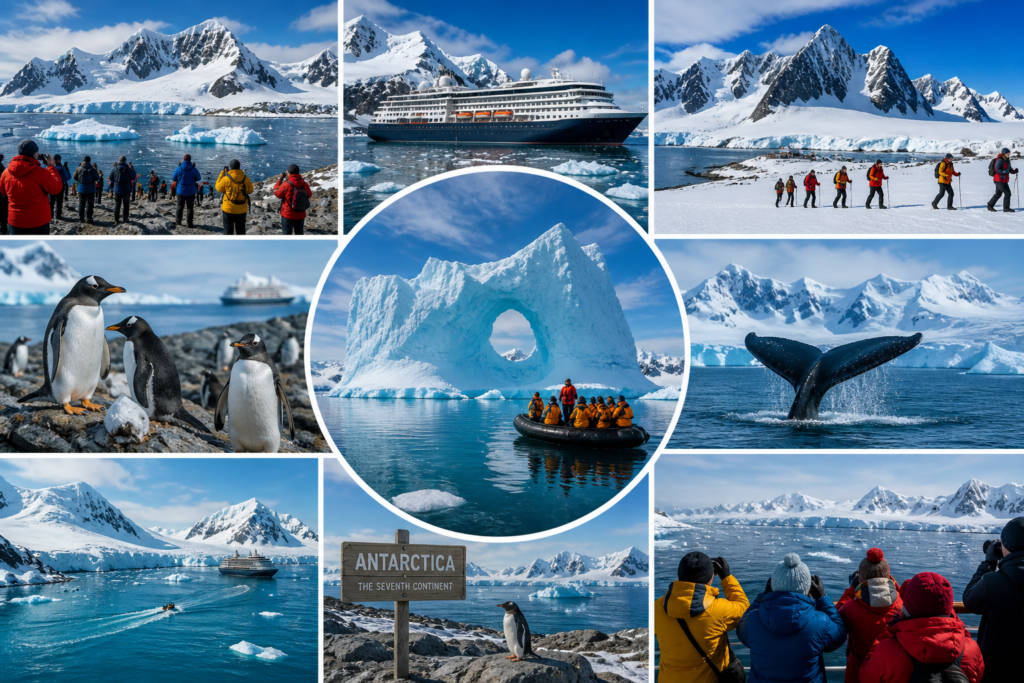
Once reserved exclusively for hardened explorers and scientific researchers, the Seventh Continent has rapidly transformed into one of the most coveted travel destinations on the planet. Visiting Antarctica as a tourist is no longer a perilous unknown; it is a meticulously orchestrated exercise in polar exploration. However, navigating the strict environmental regulations and geographical realities of the White Continent requires strategic planning.
Antarctica is not a single, monolithic destination but rather a complex archipelago and vast landmass offering highly varied micro-regions. From the volcanic caldera of Deception Island to the towering ice shelves of the Weddell Sea, understanding the distinct landing sites and sub-antarctic territories is crucial for optimizing your polar expedition.
The Strategic Approach to the Antarctic Peninsula
The overwhelming majority of tourists experience Antarctica via the Antarctic Peninsula, the curling finger of land that extends northwards toward South America. This region serves as the most accessible entry point, characterized by relatively milder climates, dense wildlife populations, and spectacular glacial scenery. +1
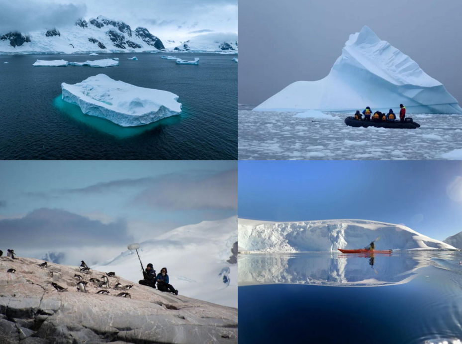
Within the Peninsula, several landing sites offer distinct geographical and biological highlights. Paradise Bay and Neko Harbour are particularly significant because they represent rare opportunities for true continental landings—allowing visitors to step directly onto the Antarctic landmass rather than an offshore island. These sheltered bays are often choked with brash ice and calved glaciers, serving as vital feeding grounds for minke and humpback whales during the austral summer. Navigating these waters via Zodiac inflatables provides an intimate, water-level perspective of the massive ice formations that define the region.
Navigating the Kodak Gap: The Lemaire Channel
Further south along the Peninsula lies the Lemaire Channel, a narrow, 1,600-meter-wide strait flanked by the steep cliffs of the Kyiv Peninsula and Booth Island. Often colloquially referred to as the “Kodak Gap” due to its sheer photogenic brilliance, traversing this channel is highly dependent on unpredictable sea ice conditions.
When navigable, the Lemaire Channel offers what is arguably the most dramatic scenery in the Southern Ocean. The water often mirrors the towering, glaciated peaks, creating an ethereal passage where orcas and leopard seals are frequently spotted hunting along the ice floes. For travelers investing in luxury expedition cruises, successfully passing through the Lemaire Channel is widely considered the crown jewel of the itinerary.
Heritage and Geothermal Anomalies in the South Shetland Islands
Before reaching the true Peninsula, expeditions typically navigate through the South Shetland Islands. This archipelago functions as an essential acclimatization zone and boasts some of the most geologically fascinating sites in the polar region.
Deception Island is perhaps the most analytically striking landing site. It is an active volcanic caldera that ships sail directly into through a narrow gap known as Neptune’s Bellows. The island’s black sand beaches, geothermal hot springs, and abandoned early 20th-century whaling stations provide a stark, industrial contrast to the pristine white landscapes found further south.
Nearby, King George Island acts as the logistical hub of the region. It houses crucial airstrips and international research stations, serving as the primary drop-off for “fly-cruise” itineraries. This allows time-constrained tourists to bypass the notoriously turbulent Drake Passage entirely by flying directly into the Antarctic zone.
| Landing Site | Primary Geographical Feature | Key Wildlife & Attractions |
|---|---|---|
| Neko Harbour | True Continental Landmass | Calving glaciers, Gentoo penguins |
| Lemaire Channel | Narrow Glacial Strait | “Kodak Gap” mirror scenery, Orcas |
| Deception Island | Active Volcanic Caldera | Geothermal beaches, Whaling history |
| Port Lockroy | Wiencke Island Natural Harbor | Penguin Post Office, British heritage |
| South Georgia | Sub-Antarctic Island | King penguins, Elephant seals |
Port Lockroy and the Intersection of Science and Tourism
Located on Goudier Island within the Palmer Archipelago, Port Lockroy is a mandatory stop for those interested in the human history of the continent. Originally established as a British military base during World War II under Operation Tabarin, it later transitioned into a scientific research station.
Today, the United Kingdom Antarctic Heritage Trust operates the site as a museum and the famous “Penguin Post Office.” Because tourism is tightly controlled under the International Association of Antarctica Tour Operators (IAATO), visiting capacities at Port Lockroy are strictly enforced to minimize human impact. It provides a rare opportunity to observe historical infrastructure harmoniously coexisting with an adjacent Gentoo penguin colony, offering a tangible link to the heroic age of Antarctic exploration.
The Biological Intensity of the Sub-Antarctic Islands
While technically north of the Antarctic Circle, the sub-antarctic islands of South Georgia and the Falklands are often integrated into extended polar itineraries, and for good reason. From a biological standpoint, these islands possess an intensity of wildlife that surpasses the mainland.
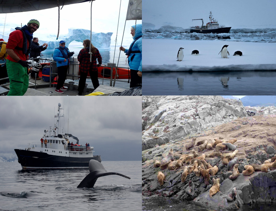
South Georgia is frequently referred to as the “Galapagos of the Poles.” Its rugged, mountainous terrain is home to massive breeding colonies of King penguins, numbering in the hundreds of thousands, alongside aggressive populations of Antarctic fur seals and colossal southern elephant seals. Analyzing an Antarctic itinerary reveals that adding these sub-antarctic stops significantly broadens the ecological scope of the voyage, transitioning the focus from stark glacial geology to overwhelming, raw biodiversity.