

The American national park system typically features vast, untouched western wilderness. Cuyahoga Valley National Park operates on a completely different model. Situated directly between the dense urban centers of Cleveland and Akron, this Ohio park represents a massive environmental reclamation project. The federal government acquired heavily degraded industrial and agricultural land to create a protected green corridor. Visitors today experience a recovering ecosystem that effectively filters urban runoff and provides critical habitat for returning wildlife. The physical layout forces a direct interaction between modern infrastructure and natural spaces.
The Historical Context And Industrial Recovery
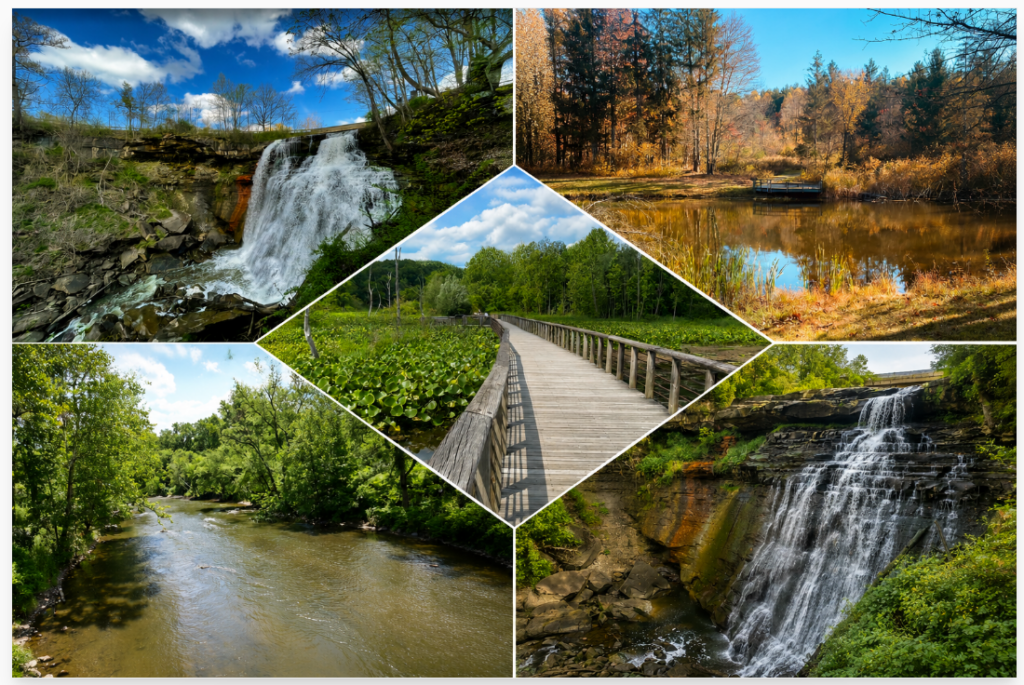
The Cuyahoga River famously caught fire multiple times during the mid-twentieth century. Industrial dumping coated the water surface with thick oil and chemical waste. The 1969 river fire triggered massive national outrage and directly spurred the creation of the Environmental Protection Agency. Federal intervention slowly forced factories to stop dumping pollutants. The water quality improved dramatically over the next few decades. Bald eagles and river otters returned to the watershed, signaling a successful biological turnaround. The park serves as a physical record of both industrial negligence and subsequent environmental recovery.
The Towpath Trail And Active Transportation Infrastructure
The Ohio and Erie Canal Towpath Trail acts as the primary recreational artery for the entire region. This crushed limestone path follows the historic route where mules once pulled canal boats between major cities. The flat terrain accommodates cyclists, runners, and casual walkers. The trail stretches for dozens of miles, crossing directly through the boundaries of the national park. Readers analyzing our U.S. travel itineraries frequently search for destinations offering highly accessible outdoor recreation. The Towpath Trail meets this exact demand by removing the steep elevation changes and rugged terrain found in traditional mountainous parks.
The Cuyahoga Valley Scenic Railroad Integration
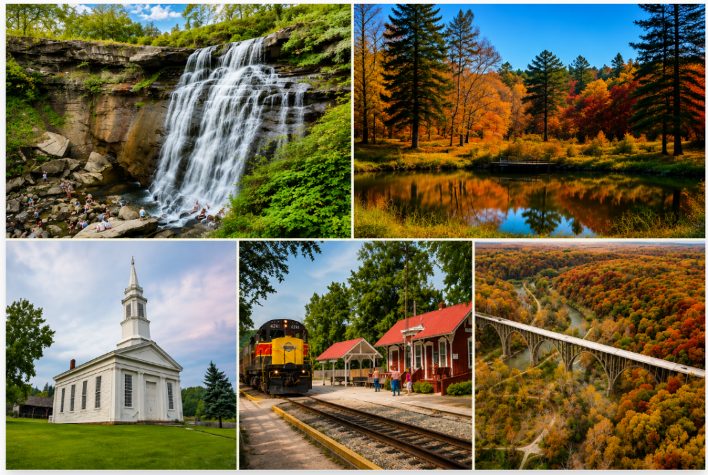
The Cuyahoga Valley Scenic Railroad runs parallel to the river and the hiking trails. This active rail line provides a highly functional transportation alternative for park visitors. The operator runs a program where cyclists load their bikes onto a specialized train car for a small fee. Riders take the train to a distant station and pedal back to their starting point at their own pace. This unique logistical setup prevents the need for staging two separate vehicles at different trailheads. Finding current schedules and ticket availability requires checking the official National Park Service guidelines before arriving.
Geological Features And The Ledges
Beyond the river valley floor, the local topography features distinct geological formations. The Ledges offer the most dramatic scenery inside the park boundaries. Massive Ritchie Ledges consist of Sharon conglomerate sandstone. These ancient rock formations display deep crevices and damp, moss-covered walls. The microclimate around the rock outcroppings stays noticeably cooler than the surrounding forest. Hikers follow a loop trail that traces the base of the massive stone walls before ascending to a wide scenic overlook.
Waterfalls And Shale Erosion
Waterfalls exist throughout the varied elevations of the park. Brandywine Falls stands out as the most heavily visited natural attraction. A wooden boardwalk system routes heavy foot traffic down into the gorge for a clear view of the sixty-five-foot drop. The underlying rock layers consist of hard sandstone resting on top of softer shale. The water constantly erodes the softer stone, causing the heavier rock above to occasionally break off and fall into the creek bed below. The parking lot at this specific location fills completely by early morning during the peak summer and fall seasons.
Sustainable Agriculture Within The Boundaries
Farming remains an active component of the park landscape. The Countryside Initiative program leases federal land to private farmers willing to use sustainable agricultural practices. Visitors drive past working vineyards, berry farms, and sheep pastures right inside the park boundaries. These farms maintain the rural character of the valley that existed before heavy industrialization took over the region. Local farmers markets operate seasonally, allowing tourists to purchase food grown directly on the protected land.
Strategic Planning For A Suburban Park
The integration of a national park into an active suburban environment creates specific management challenges. Highway noise frequently bleeds into the forested areas. Power lines cross directly over scenic meadows. The park succeeds precisely by acknowledging its setting rather than attempting to hide it. It provides millions of nearby residents with immediate access to green space without requiring an airplane ticket. The ongoing restoration proves that heavily damaged land can recover given proper legislative protection and sustained funding.
| Location | Primary Attraction | Accessibility Focus |
| Peninsula Depot | Train access, bike rentals | Central hub, easy parking |
| Brandywine Falls | 65-foot waterfall, boardwalk | High traffic, early arrival needed |
| The Ledges | Sandstone formations, hiking | Moderate terrain, cooler microclimate |
| Beaver Marsh | Wildlife viewing, wetland ecosystem | Flat boardwalk, wheelchair accessible |
The infrastructure supports a highly functional public space focused entirely on education and outdoor activity. Travelers seeking a blend of rich industrial history and rebounding natural beauty find exactly what they want in Northeast Ohio.