
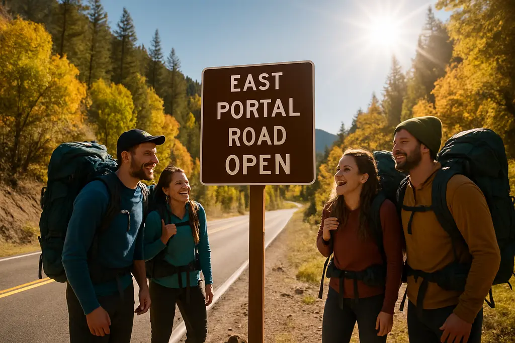
East Portal Road reopened after a difficult summer at Black Canyon of the Gunnison National Park, but the practical lesson for travelers is not simply that access returned. The July 2026 mudslide, the staged September reopening, and a later weather-related closure showed how quickly this steep canyon road can shift from available to restricted. As of October 1, 2026, planning a visit means checking the latest park status before driving, matching your vehicle to the road limits, and keeping backup plans realistic.
East Portal Road Status After The Reopening
East Portal Road Reopening Timeline
The access story began with a major mudslide on July 16, 2026. The National Park Service reported that the slide forced the closure of the road, campground, and picnic areas, with debris reaching up to six feet in places and consisting of boulders, rock, and mud, according to the National Park Service closure notice. That detail matters for trip planning because the closure was not a routine maintenance delay; it involved road surface clearing, drainage work, and visitor-area recovery.
The road and picnic area reopened on September 4, 2026, at 8:00 a.m. after crews cleared roadways, culverts, drainages, and visitor use areas, according to the park’s September 4 reopening notice. The upper loop of the campground followed on September 5, while the lower walk-in section remained closed as debris removal continued. The park then closed the route again on September 14 because forecasts called for heavy rain and renewed mudslide risk. It reopened again on September 19 at 8:00 a.m., with vehicle restrictions still in place.
What Changed On The Ground
For anyone evaluating East Portal Road after the reopening, the key change is uncertainty tied to weather. A reopened gate should not be treated as a fixed promise for a future date. The sequence of a September 4 reopening, a September 14 closure, and a September 19 reopening shows why travelers should check conditions close to departure rather than relying on an older trip note or saved map. If rain appears in the forecast, treat the lower canyon access as conditional until the park confirms otherwise.
Driving Constraints And Vehicle Fit
Grade, Length, And Brake Use
Driving East Portal Road is not comparable to a standard overlook spur on the South Rim. Research from the park’s visitor materials describes it as about 6.5 miles, or 10.5 kilometers, long. It intersects South Rim Drive at the entrance station and descends on a paved but steep, winding route. Sections reach grades of up to 16%, and the road includes sharp curves. The practical advice is direct: use low gear to reduce brake strain. Long downhill braking on a steep canyon road can overheat brakes, especially for drivers unfamiliar with mountain grades.
Drivers should also think about the return drive. A steep descent can feel manageable because gravity is doing much of the work, but the climb back out demands engine performance and patience. If your vehicle is heavily loaded with camping gear, water, and passengers, build in extra time and avoid entering the road in marginal weather. This is not a place to test a vehicle you already suspect has brake, tire, or cooling-system problems.
The 22-Foot Limit
Vehicles over 22 feet, including trailers, are prohibited. That restriction is central for road-trip planning because many rental RVs, tow-behind campers, and truck-trailer combinations exceed the limit. Travelers should confirm the full length of the vehicle before reaching the entrance station rather than estimating at the gate. If your setup is too long, plan to use South Rim viewpoints instead and keep the lower canyon for a future trip with a suitable vehicle.
Campground Access And Seasonal Limits
Upper Loop Versus Walk-In Sites
The East Portal Campground has 15 sites in normal operations: five vehicle-accessible sites and 10 walk-in tent-only sites. After the September 2026 reopening, only the upper loop reopened first, while the lower walk-in section stayed closed for debris removal. That distinction is important for travelers who prefer a specific style of camping. A campground listed as partly open may still leave some site types unavailable.
The campground is typically open from May to mid-October, depending on weather and road status. Winter closure usually runs from early November through mid-April because access is blocked. Those seasonal windows should be treated as planning ranges, not fixed guarantees. In 2026, the mudslide and later rain closure showed that access can change inside the usual open season.
Water, Fees, And Offline Planning
Potable water is seasonal, generally from mid-May to mid-September. Outside that window, visitors should not assume water will be available. Standard camping fees are listed in the research at $20 per night, with $10 per night for valid Senior or Access passes. Group size is limited to eight people and two vehicles per campsite. Because there is no cell reception or internet at the campground, download reservation details and any needed Recreation.gov information before descending.
Weather Risk And Day-Of Decisions

Mudslide Exposure After Fire
The 2025 South Rim Fire left burned and unburned forest areas near the access corridor. Burned soils can lack stabilizing vegetation, which increases erosion and mudslide risk during rain. That context explains why the park suspended all access during unsafe weather periods, including vehicles, pedestrians, and cyclists. If the road is closed for weather risk, walking or biking around the closure is not a backup option.
Travelers planning canyon drives elsewhere will recognize the pattern: steep terrain, burn scars, and summer or early autumn rain can alter access quickly. For a broader look at how flood damage can affect visitor access in major parks, this site’s park flood restoration update offers useful planning parallels. Readers comparing desert-route planning across the same travel network can also refer to Baja Times for additional regional access insights.
How To Build A Flexible Plan
A practical plan should start with the South Rim as the dependable anchor and treat the lower canyon as the weather-dependent portion. Check road status before leaving lodging, then check again at the park if conditions are changing. Carry water even if you expect services, keep offline directions available, and avoid making the campground your only lodging option late in the season.
- Confirm the road is open on the day of travel, especially after rain or forecasted storms.
- Measure vehicle length, including trailer or rear-mounted equipment, before arrival.
- Use low gear on the descent to reduce brake overheating risk.
- Bring water if traveling outside the typical mid-May to mid-September potable-water window.
- Download reservation and access information before entering the canyon.
East Portal Road Planning Checkpoints
Treat East Portal Road as a rewarding but conditional side trip within Black Canyon of the Gunnison, not as a casual add-on that requires no preparation. The route offers access to the canyon floor, picnic areas, and a small campground, but its steep grade, strict vehicle limit, seasonal services, and recent mudslide history all affect how a visit should be planned. The most reliable approach is to verify status close to arrival, keep South Rim alternatives available, and avoid descending if weather, vehicle fit, or timing feels marginal. That caution does not diminish the experience; it makes the visit better matched to the conditions that shaped the 2026 reopening.