
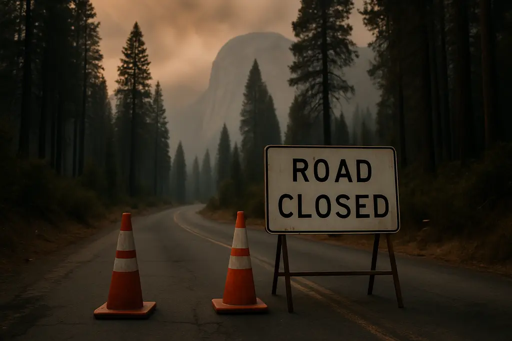
As of October 10, 2026, Yosemite Road Closures tied to the Dome Fire remained a practical constraint for visitors planning drives, day hikes, and backcountry exits on the park’s south side. CAL FIRE reported on October 9, 2026, that the Dome Fire had burned about 6,829 acres and was 61% contained, according to the CAL FIRE incident report. Those figures do not describe a park-wide closure, but they do explain why access decisions were still changing by road, trail, elevation, and fire operations need.
The key travel issue is not only whether a destination appears open on a map. Smoke, firefighting traffic, trail junction closures, and aviation restrictions can make a planned route impractical even when nearby areas remain reachable. Travelers seeking comprehensive insights might find updates on California’s travel scene helpful, but they should prioritize National Park Service and fire agency updates as the definitive sources before heading to Yosemite.
Yosemite Road Closures And Access Limits
Yosemite Road Closures At Glacier Point
The highest-profile road limit was Glacier Point Road. The National Park Service said in its October 3, 2026, morning update that Glacier Point Road was closed because smoke reduced visibility and because the closure allowed firefighting operations to proceed safely; the road was to reopen “when conditions allow,” according to the Yosemite fire update. For trip planning, that wording matters. It does not provide a reopening date, and it leaves the decision tied to operational conditions rather than a fixed visitor schedule.
The practical meaning of Yosemite Road Closures at Glacier Point is straightforward: do not build a nonrefundable plan around driving to Glacier Point Road while the closure remains posted. Saved map routes, older itinerary notes, and past trip reports are less reliable than the active closure notice. Visitors with lodging, photography plans, or backcountry logistics tied to Glacier Point should build in a substitute day that does not depend on that road.
Backpackers Already Parked Overnight
The Glacier Point Road closure did not mean that backpackers already parked overnight at Glacier Point were simply locked in place. The park update stated that backpackers already parked overnight at Glacier Point would be allowed to exit after the road closure began. That is a narrow allowance, not a general visitor access opening. It should be read as an exit provision for people already staged there, not permission for new private vehicle access during the closure period.
Trail Access Under The Dome Fire Closure
Open Foot Access Does Not Equal Open Road Access
Four Mile Trail and Panorama Trail, both of which provide pedestrian access to Glacier Point, remained open to hikers despite the road closure. That distinction can be useful for fit hikers with appropriate daylight, smoke, water, and exit planning, but it should not be treated as a casual substitute for a closed road. Road access and foot access are being managed separately. A trail listed as open still requires visitors to assess air quality, distance, daylight, and whether nearby connecting trails are restricted.
All trails within the active fire footprint were closed, including all south- and east-bound trails accessed from Glacier Point Road. Ostrander Lake Trail and all areas and trails south of it were also closed due to the fire. The closed area broadly extended east of Wawona Road, from Wawona to Chinquapin. That pattern matters for anyone planning a loop rather than a simple out-and-back route, because one closed connector can break the entire itinerary.
Partial Reopening Near Chilnualna Falls
Chilnualna Falls Trail had reopened only in part. The open segment ran from the trailhead east to Chilnualna Falls and to Crescent Lake, while segments beyond remained closed. The Buena Vista Trail remained closed. This kind of partial reopening is easy to misread during trip planning. A destination name appearing in an update does not mean the full trail system beyond it is available.
| Area Or Route | Status From October 2026 Updates | Planning Effect |
|---|---|---|
| Glacier Point Road | Closed due to smoke visibility and firefighting operations | Do not plan on vehicle access until reopened by the park |
| Four Mile Trail And Panorama Trail | Open to hikers | Foot access may remain possible, but conditions and exits need checking |
| Chilnualna Falls Trail | Partially open from trailhead east to the falls and Crescent Lake | Avoid assuming routes beyond the stated open segment are usable |
| Buena Vista Trail | Closed | Do not plan loops or traverses depending on this trail |
| Ostrander Lake Trail And Areas South | Closed | South-side backcountry plans need rerouting or postponement |
For anyone planning around Yosemite Road Closures, the most useful exercise is to identify the weakest link in the route. If the day depends on a closed road, a south- or east-bound Glacier Point Road trail, or a connector inside the fire footprint, the plan should be changed before arrival. For a broader checklist of access issues beyond this single fire update, the site’s Yosemite conditions checks can help frame what to verify before booking.
Aviation, Smoke, And Fire Restrictions
Airport Limits And Low-Elevation Fire Rules
Mariposa-Yosemite Airport, identified as KMPI, was closed to general aviation traffic during the Dome Fire response. No civilian aircraft could take off or land there at that time. That restriction affects a smaller share of Yosemite visitors than a road closure, but it is significant for private pilots, aerial tour assumptions, emergency itinerary changes, and travelers who planned to position close to the park by general aviation.
As of October 7, 2026, fire restrictions were in effect below 8,000 feet in Yosemite National Park because of high fire danger. Visitors should not treat those restrictions as background information. They can affect how people cook, camp, and manage heat sources in lower-elevation areas. The exact permitted and prohibited actions should be checked directly against the park’s active fire restrictions before a trip begins, because wildfire rules can change with weather and firefighting needs.
Smoke was not only a visibility concern for scenic viewpoints. The Glacier Point Road closure specifically referenced reduced visibility from smoke, which has direct consequences for driving risk, wayfinding, and the usefulness of a viewpoint-centered itinerary. If the main purpose of a Yosemite visit is long-range photography from high viewpoints, the Dome Fire period requires a more flexible plan than a normal fall visit.
Booking Checks Before Driving To Yosemite
How To Read A Closure Notice
A closure notice should be read by boundary, mode of travel, and date. Boundary means the physical area covered, such as east of Wawona Road from Wawona to Chinquapin. Mode of travel means whether the notice applies to vehicles, hikers, aircraft, or all access. Date matters because Yosemite updates during an active fire can revise trail openings, road access, and restrictions within days.
Travelers often make mistakes when they read only the destination name. Glacier Point, for example, can appear in several planning contexts: the road, the viewpoint, the trails that reach it, and nearby backcountry routes. During the Dome Fire response, those access categories did not all carry the same status. That is why Yosemite Road Closures should be checked alongside trail closures rather than in isolation.
- Check the official road status and fire update before leaving cell service or entering the park corridor.
- Confirm whether a planned route uses Glacier Point Road, Wawona Road, Ostrander Lake Trail, Buena Vista Trail, or south- and east-bound trails from Glacier Point Road.
- Do not rely on partial trail reopenings to infer that neighboring trail segments have reopened.
- Private pilots should verify KMPI restrictions before any general aviation plan involving Mariposa-Yosemite Airport.
- Review fire restrictions below 8,000 feet before cooking, camping, or using any heat source.
Cost planning should also be conservative. A road closure can change the value of a lodging location if the chosen hotel or campground was selected mainly for access to Glacier Point Road or south-side trailheads. Flexible cancellation terms, a second hike option outside the closure area, and realistic driving expectations reduce the risk of paying for a trip that no longer matches the planned activities.
Yosemite Road Closures Trip Decisions
Yosemite Road Closures during the Dome Fire call for a route-by-route decision rather than a simple yes-or-no answer about visiting the park. The supported facts as of October 7–10, 2026, point to a concentrated set of limits: Glacier Point Road was closed, south- and east-bound trails accessed from Glacier Point Road were closed, the active fire footprint remained off limits, Ostrander Lake Trail and areas south of it were closed, and the Chilnualna Falls area was only partly reopened. At the same time, Four Mile Trail and Panorama Trail remained open to hikers, showing that access was restricted in specific ways rather than uniformly across every nearby route.
The safest planning posture is cautious and specific: choose activities that do not depend on closed roads, do not cross the fire footprint, and do not require uncertain reopening dates. If a trip’s main purpose is Glacier Point Road, Buena Vista Trail, Ostrander Lake, or aviation access through KMPI, the evidence supports postponing that part of the plan or replacing it with a route confirmed open by the park. If the trip can be adjusted around open areas and changing smoke conditions, keep the itinerary flexible and recheck official notices close to departure.