
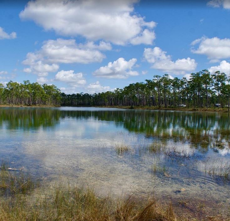
Everglades National Park in Florida operates as the largest subtropical wilderness in the United States. Covering over 1.5 million acres at the southern tip of the peninsula, this environment defies standard definitions of a swamp or a marsh. It functions as a massive, slow-moving river spanning sixty miles wide. Congress established the park in 1947, marking the first time the federal government protected an area strictly for its ecological and biological value rather than its scenic geological features. Evaluating the complex hydrology, the severe seasonal shifts, and the ongoing battle against invasive species provides a clear assessment of this highly engineered and heavily contested natural environment.
Hydrology And The Slow-Moving River
The entire ecosystem relies on a precise water cycle beginning far to the north. Historically, water flowed down the Kissimmee River into Lake Okeechobee. During heavy summer rains, the lake breached its southern banks, spilling water across a vast, flat limestone shelf. This sheet flow moves southward at an incredibly slow pace, averaging roughly one hundred feet per day, until it reaches the saltwater of Florida Bay.
Sawgrass prairies dominate the central portion of this flow. The sharp blades of the sawgrass cut through the shallow water, creating the iconic “River of Grass” imagery popularized by conservationist Marjory Stoneman Douglas. Slight elevation changes dictate the entire biological makeup of the terrain. A change of just a few inches in bedrock height creates dry islands known as hardwood hammocks. These hammocks support dense clusters of mahogany, gumbo-limbo, and live oak trees, providing dry refuge for land-based mammals during periods of high water.
Seasonal Extremes Dictating The Ecosystem
The park experiences two highly distinct seasons that dictate visitor logistics and wildlife behavior. The wet season runs from May through November. Daily thunderstorms drop massive volumes of water across the peninsula. The humidity spikes, mosquito populations explode to intolerable levels, and the water level rises significantly across the sawgrass prairies. Wildlife disperses across the vast flooded acreage, making animal sightings difficult for casual visitors.
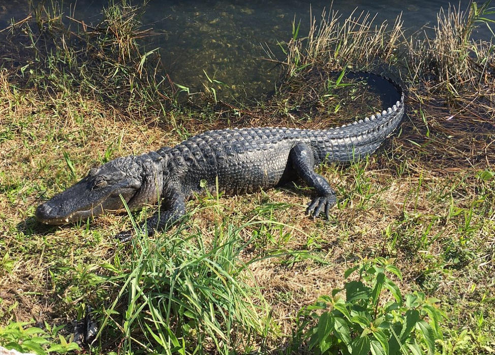
The dry season, lasting from December through April, forces a complete environmental contraction. The water levels drop steadily. Fish and amphibians retreat into deeper pools and man-made canals. This concentration of food draws massive flocks of wading birds, alligators, and predatory mammals into highly localized areas. Travelers building out their U.S. travel itineraries consistently target this dry window. The reduced water levels provide unparalleled wildlife viewing opportunities right from the paved hiking trails and boardwalks.
Primary Access Corridors And Logistics
Managing a visit requires selecting one of four main entry points, as no single road connects the entire park. The Shark Valley entrance sits along the northern boundary, accessed via the Tamiami Trail. This location features a fifteen-mile paved loop extending deep into the sawgrass prairie. Visitors rent bicycles or utilize a guided tram service to reach a concrete observation tower at the halfway point. Biking this flat circuit during the dry season guarantees close-proximity sightings of dozens of alligators resting right on the hot asphalt.
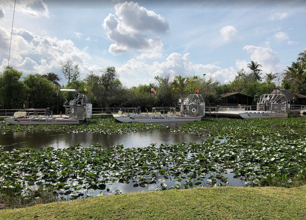
The main entrance near Homestead directs visitors to the Royal Palm visitor center. The Anhinga Trail operates here as the most popular short hike in the entire park. This elevated wooden boardwalk cuts through a Taylor Slough, offering direct sightlines of cormorants, herons, and turtles moving through the clear water below.
Driving the main park road all the way to the southern terminus ends at Flamingo. This outpost sits directly on Florida Bay. The environment shifts from freshwater prairie to dense mangrove estuaries. Kayaking serves as the primary mode of transportation in this sector. Paddlers push through the network of mangrove roots, watching for manatees and American crocodiles utilizing the brackish water.
| Entrance Point | Geographic Location | Primary Environment | Best Activity Profile |
|---|---|---|---|
| Shark Valley | Northern boundary | Freshwater sawgrass prairie | Biking, tram tours, alligator visibility |
| Royal Palm | Eastern boundary | Hardwood hammocks, sloughs | Short boardwalk hikes, bird watching |
| Flamingo | Southern terminus | Brackish estuaries, Florida Bay | Kayaking, crocodile sightings, boat tours |
| Gulf Coast | Western boundary | Ten Thousand Islands | Backcountry paddling, Gulf access |
The Gulf Coast Visitor Center located in Everglades City operates as the fourth major access point. This western outpost serves as the gateway to the Ten Thousand Islands. The fresh water from the interior finally meets the saltwater of the Gulf of Mexico here, creating a massive estuarine system. Visitors rarely hike in this sector. They launch sea kayaks or book motorized boat tours to explore the sandy keys and oyster beds. This area provides the primary entry point for the Wilderness Waterway, a ninety-nine-mile marked paddling route connecting Everglades City straight down to Flamingo. Completing this route demands several days of unsupported backcountry camping on raised wooden chickees built directly over the tidal waters.
Wildlife Concentrations And Apex Predators
The biological density of the park sets it apart from almost any other North American environment. It remains the only place on earth where American alligators and American crocodiles coexist in the wild. Alligators dominate the freshwater sloughs and prairies inland. Crocodiles tolerate higher salinity, restricting their territory to the coastal mangrove swamps near Flamingo and Key Largo.
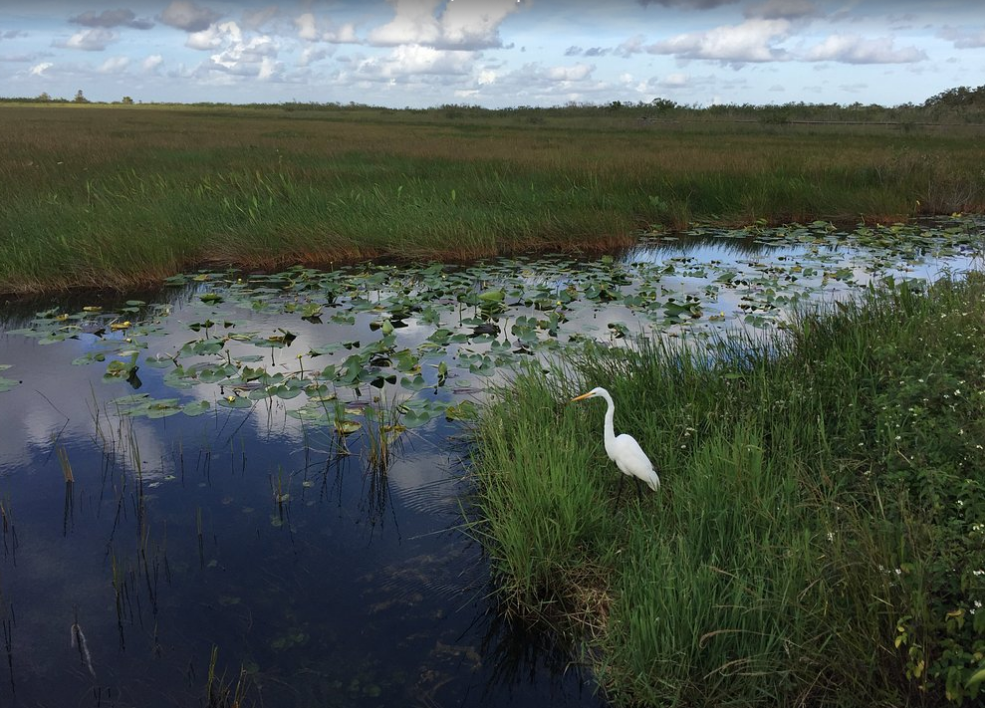
Avian life dictates the visual environment. Roseate spoonbills, great blue herons, white ibises, and wood storks hunt the shallow pools. The sheer volume of birds present during the winter dry season represents a fraction of historical populations, but provides an incredible display of predatory efficiency. The Florida panther represents the apex mammalian predator, hunting white-tailed deer across the dry pinelands. Sighting a panther remains incredibly rare. The solitary cats avoid human infrastructure and require massive territorial ranges to survive.
The Impact Of Invasive Species
The park faces an ongoing ecological crisis regarding non-native species. The Burmese python completely fractured the traditional food web. Originally introduced through the exotic pet trade, these massive constrictors found a perfect breeding environment in the remote swamps. The pythons wiped out nearly the entire population of small to medium-sized mammals in certain sectors of the park. Raccoons, opossums, and marsh rabbits effectively vanished from the southern regions.
The state and federal governments employ dedicated contractors to track and remove the snakes, utilizing radio telemetry and night-vision equipment along the main road corridors. The problem extends to plant life. Melaleuca and Brazilian pepper trees consume vast amounts of water and outcompete native vegetation. Eradicating these aggressive botanical invaders requires continuous funding and manual removal by specialized park crews. Monitoring these ecological threats requires checking the data published by the official National Park Service site to track the current containment strategies and local advisories.
Comprehensive Restoration Efforts
The current state of the park reflects a century of aggressive human engineering. Early twentieth-century developers viewed the swamp as a wasteland to be drained and paved. The construction of massive canals, levees, and pumping stations diverted the natural water flow straight into the Atlantic Ocean or the Gulf of Mexico, starving the southern tip of the peninsula.
The Comprehensive Everglades Restoration Plan operates as the largest hydrologic restoration project ever authorized in the United States. Engineers are actively removing old roadbeds and bridging sections of the Tamiami Trail to allow water to flow naturally southward again. The bridging of the Tamiami Trail stands out as a highly visible component of this restoration. Engineers elevated miles of the historic highway onto concrete pylons. This structural elevation allows the blocked water to resume its natural sheet flow southward beneath the roadbed, rehydrating the parched sections of the park.
Monitoring this flow requires massive data collection. Hydrologists measure rainfall, evaporation rates, and pump discharge volumes daily to mimic the historical water table without flooding the massive agricultural operations sitting just north of the park boundaries. The success of this massive undertaking will dictate the long-term survival of the park. The daily management involves calculating precise water releases from northern holding areas, replicating a natural cycle within a heavily manipulated environment. The sheer scale of this intervention highlights the strict physical management required to protect one of the most distinct biological zones on the continent.